Out of this world: How space data can help Earth’s water
Satellites in space are providing us with key insights into water on Earth. How can we use the data we capture above our planet to help protect one of its most vital resources?
Water is a sometimes-paradoxical problem on our planet. India and Bangladesh are experiencing widespread shortages of freshwater, with 163 million people in India without access to safe, freshwater. Meanwhile, our glaciers are melting – at a rate of 31% more snow and ice per year than 15 years ago – extreme rainfall is a more frequent occurrence, and flooding is costing lives and livelihoods. It’s difficult to understand all these diverse water challenges we face on earth, or how to fix them, without data.
Using space-based tech, NASA can get the ultimate overview – learning more about how water is distributed and used across the planet, and using this information to inform how we make better use of it.
Satellites are helping us understand water threats
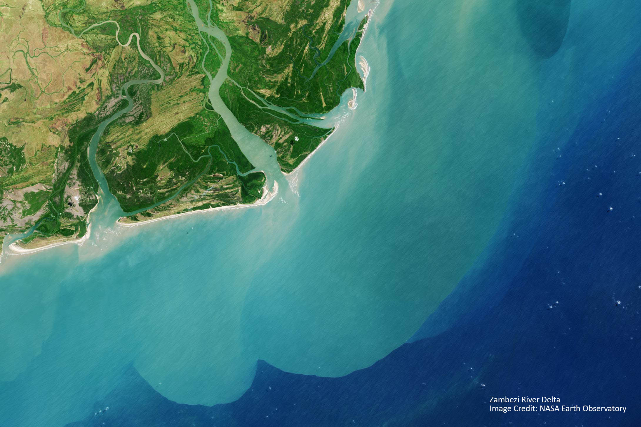
NASA has developed several projects that are helping us better understand threats to our water resources. For example, NASA’s Jet Propulsions Laboratory at the California Institute of Technology have created the global-scale Earth System Data Record (ESDR). This project has the goal of monitoring the world’s wetlands. Satellites capture regular images of wetlands across the globe, and use temperature differentiations to learn more about them and even map wetlands which may not be seen from the air because of forest cover. By comparing wetland images year on year, data scientists can assess the changing size of the wetlands, and locate where they are declining.
Similarly, the agency’s GRACE and GRACE Follow-on satellites have been capturing data on ice sheets since 2002. The data has shown that ice sheets of Antarctica and Greenland have been shrinking at a staggering rate: 152 billion and 276 billion metric tons each year respectively.
NASA’s satellites are not just looking at where water is found, but also where it isn’t. Scientists at the agency are using satellite data to monitor areas at risk of drought. By tracking precipitation, size of regional water sources, snowpack, and depleted groundwater, they can establish trends and predict where drought will hit next. This in turn can help local people and authorities take action to protect crops and lives.
It is only by gaining a full understanding of areas most at risk of water scarcity that action can be taken to protect our water. And this action, too, can be supported by NASA’s space tech.
NASA is helping us better plan water use
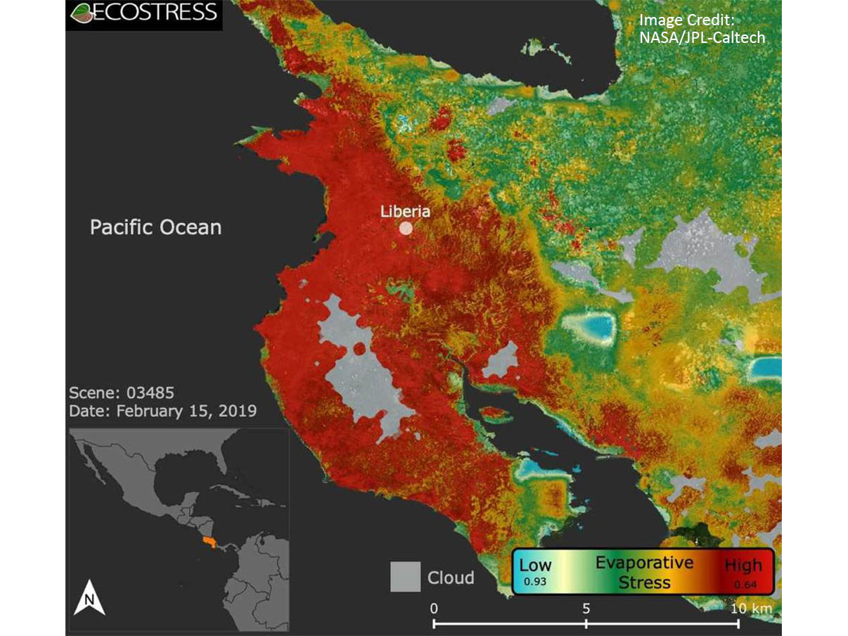
NASA and the US Geological Survey have been running the Landsat program for nearly fifty years. It collects data from two satellites that orbit the earth every eight days, taking the temperature of the land, crops, and cities below. The data on temperature is combined with other satellite data that measure weather fluctuations, and paints a picture of how much water is being lost from the earth via evapotranspiration (water evaporating from soil and transpiration from plant leaves). Farmers can access the data through specially designed online tools, like NASA Harvest, and use it to help plan water use more efficiently across their crops, targeting drier areas and reducing irrigation in more saturated crops.
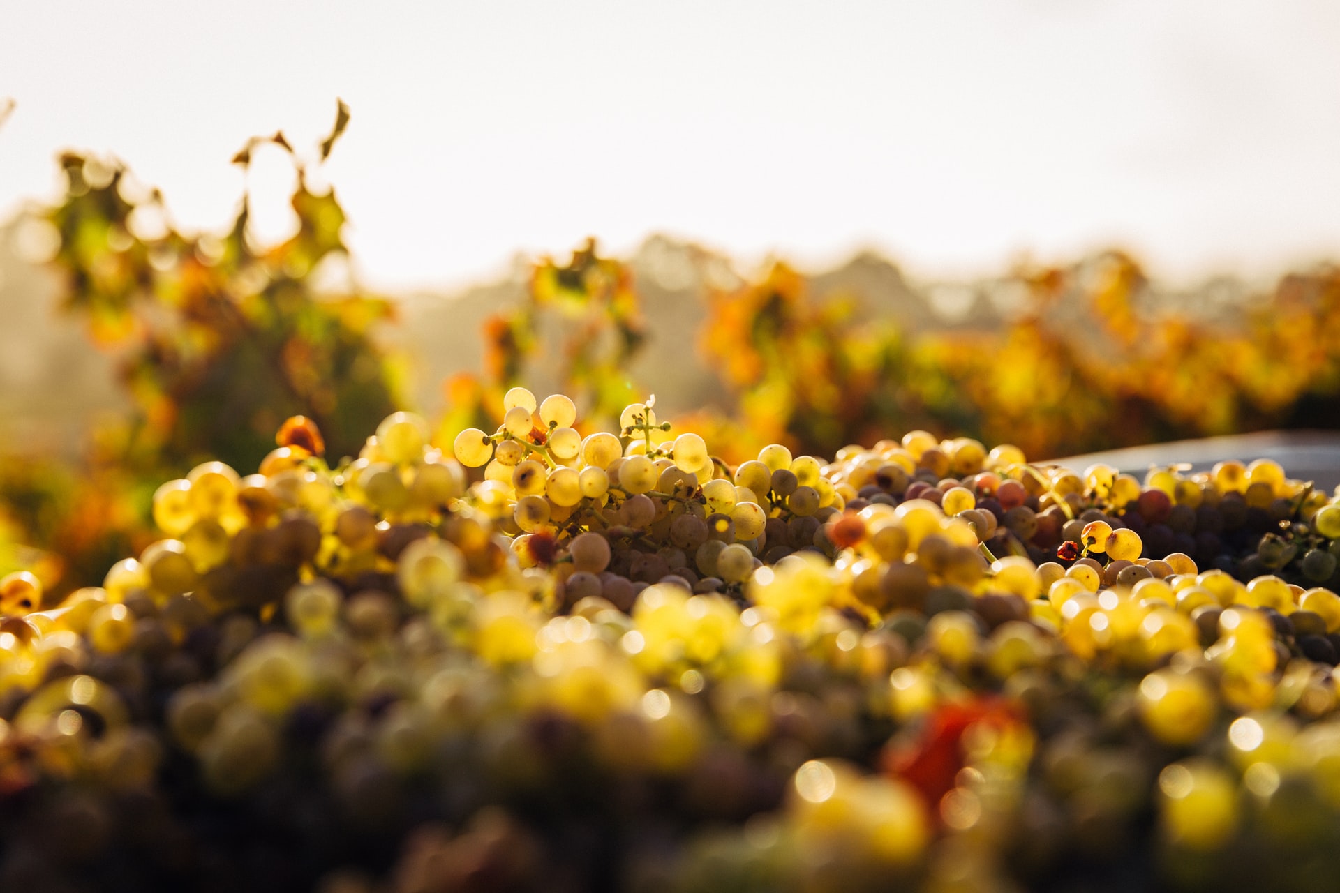
It’s not just NASA who produces these tools. Because so much of the satellite-gathered data is open source – free to access and download – universities, research institutes, and industry can create similar tools to support people who make use of the land. Californian grape growers, Gallo, have teamed up with the USDA’s Agricultural Research Service to develop the GRAPEX project, which uses Landsat data to make predictions about the amount of water vineyards will need in coming days and weeks. Using the information from the project has enabled Gallo to reduce water use for irrigation by up to 25%.
This is a win for everyone – less freshwater is used and wasted by vineyards, while the vineyard owners can save money on irrigation.
NASA’s insights are also helping fish farms in Palau. The small island nation relies on fish to sustain its tiny population, but also it’s much larger numbers of tourists who visit to enjoy beaches, scenery, and seafood. To sustainably farm fish, the nation is developing aquaculture farms – ‘growing’ fish in the ocean. NASA’s ESDR satellite data, which includes surface temperatures, maps of where the ocean is in shade or sunlight, and water cloudiness is helping the country work out the best location within their oceans for the fish farms, so that they are as efficient and sustainable as possible.
Data is our most powerful tool
Without data, it’s difficult to know which of the world’s water sources are most at risk, and – importantly – how we can get better at protecting them. The literal ‘world view’ that satellites offer is a vital tool as we learn to manage water more sustainably.
